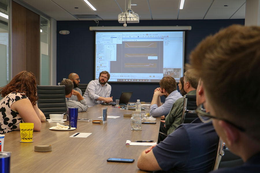
As part of Civiltech’s in-house learning program, drone pilots Ernest Williams and Adam Wuellner gave a presentation on Drones for Data Collection. Their presentation covered the use of photogrammetry software, with which they are capable of producing 3D renderings, documenting construction progress, assisting Phase I and II with survey collection, and creating reality modeling for visualization. It also highlighted one of the most exciting aspects of Civiltech’s expanding program – the capability to utilize drones for topographic survey. The educational and entertaining program was well attended by our staff.