Evaluating How Traffic Interfaces with Community
An important objective of Civiltech’s Northern Terminus Traffic Study (NTTS) is achieving a balance between the realities of travel demand and quality of life. Civiltech is evaluating how traffic at the termination of North DuSable Lake Shore Drive (NDLSD) in Edgewater interfaces with the local neighborhoods and businesses and recommending improvements to meet the travel demand while improving the quality of life.

A Heavily Traveled Neighborhood
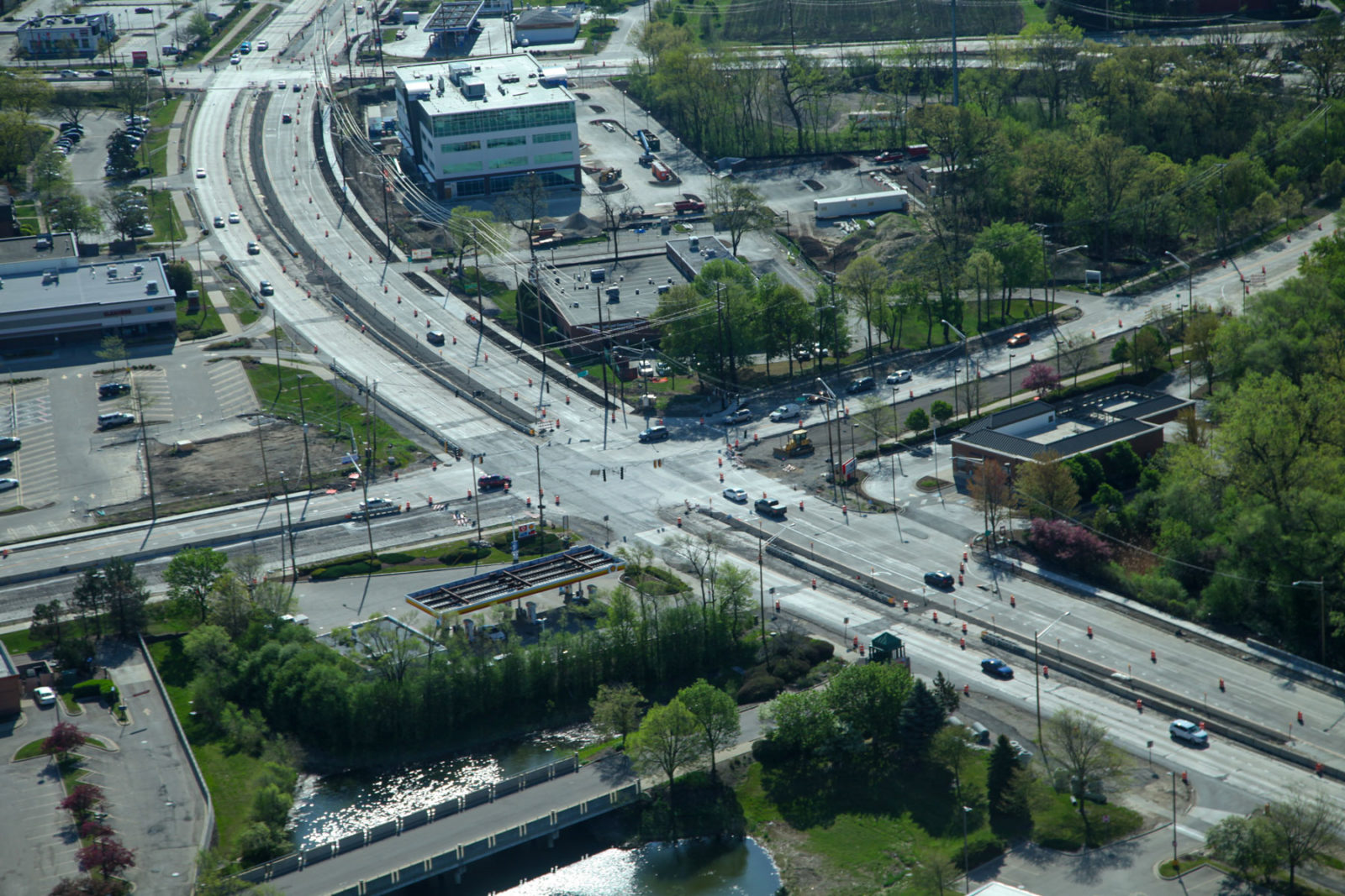
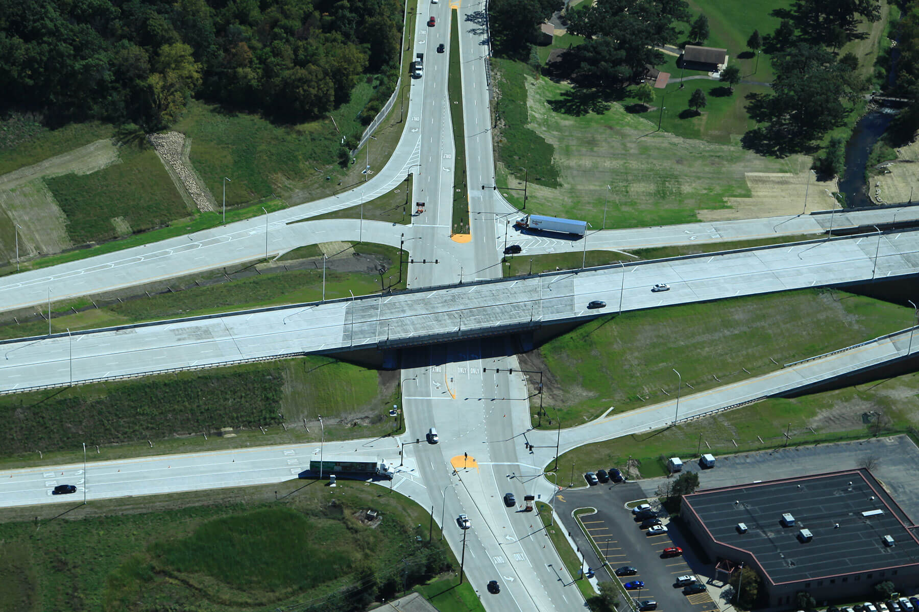
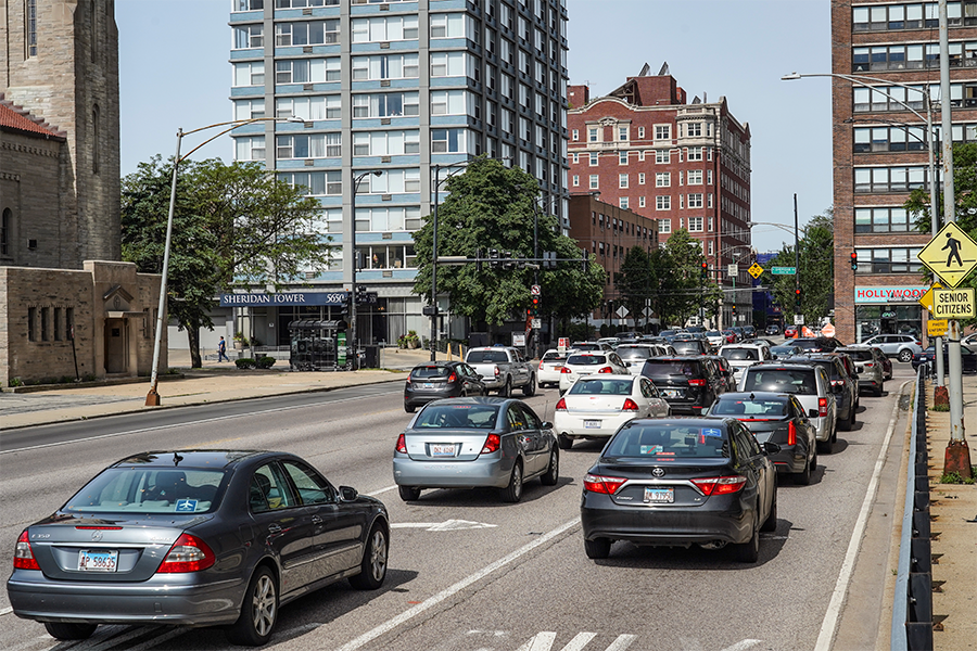
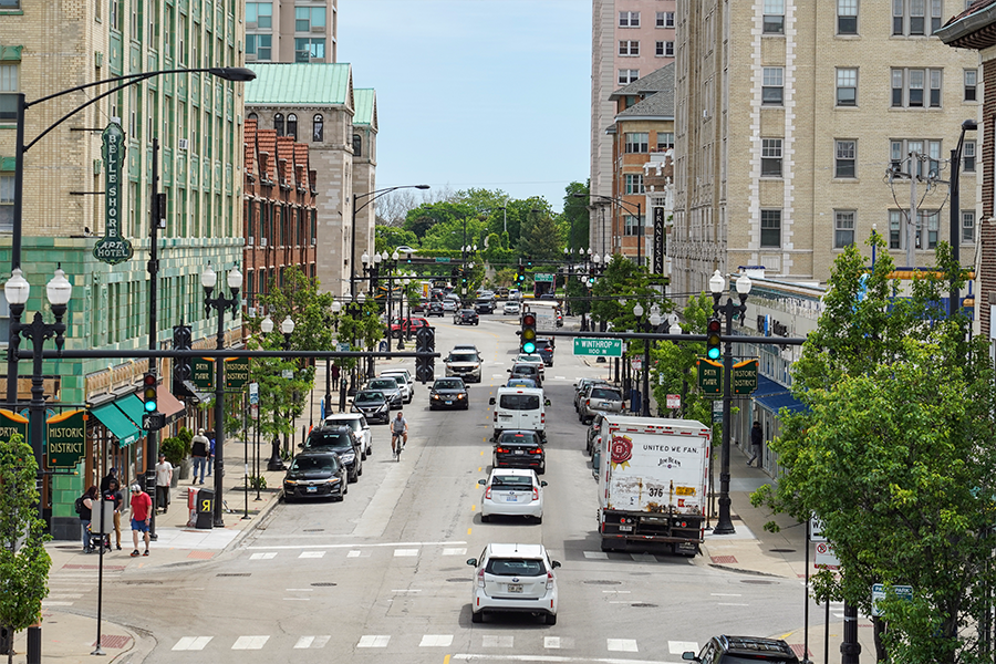
North Lake Shore Drive terminates within the Edgewater Community and Chicago’s 48th Ward where approximately 70,000 vehicles per day traverse the neighborhood traveling to and from NDLSD. This heavy travel demand contributes to conflicts between the varying modes of transportation, which results in potential mobility, accessibility, and safety issues.
Using Data to Inform Improvement Strategies
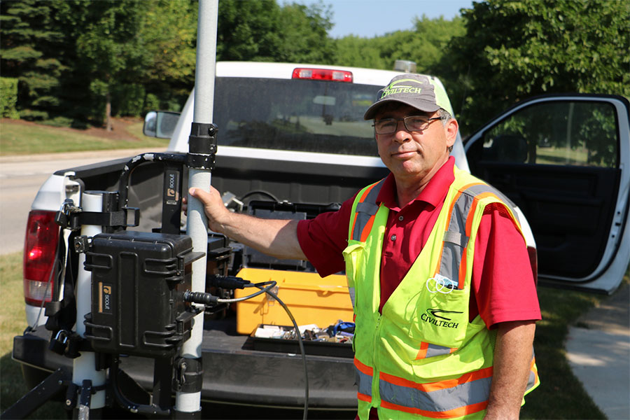
The NTTS gathered current traffic data to determine how motorists are accessing Lake Shore Drive at its northernmost points, as well as their origins and destinations. Traffic data was used to evaluate overall intersection and roadway network performance. Additionally, bicycle, pedestrian, transit, and parking data was incorporated to evaluate existing transportation conditions and inform development of alternatives.
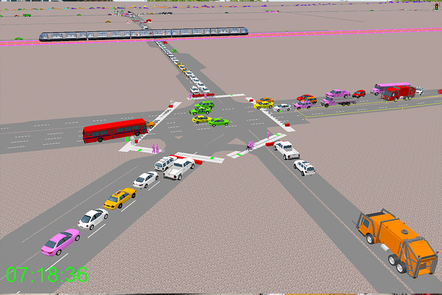

Modeling Traffic Conditions
Synchro traffic capacity analysis software was used to develop traffic models that evaluate existing traffic conditions and the potential impacts of each alternative. SimTraffic simulations were used to verify the accuracy of the existing condition model and to determine travel time estimates when developing the NTTS alternatives. VISSIM simulations were developed to assess impacts on bus travel times.
Investigating Contextual Alternatives
Identifying alternatives to manage traffic goes beyond the quantitative data and traffic models. While data and analyses are important, they mean nothing without community buy-in. Alternatives consider quality of life factors such as land use compatibility, commercial activity access, and impacts to experiences of people walking and riding bikes. Three community meetings have been held to interact with neighborhood residents to better understand transportation issues in the study area and obtain their input on potential roadway reconfiguration alternatives.
This Project Incorporates the Following:
- Complete Streets approach
- Identifying improvement strategies
- Investigation alternatives
- Coordination with transit
- Synchro traffic modeling
- SimTraffic simulations
Scope of Services
- Crash Analysis and Safety Studies
- Traffic Modeling and Simulation
- Traffic Impact Studies
- Feasibility Studies
- Neighborhood Traffic Management and Traffic Calming
Similar Projects