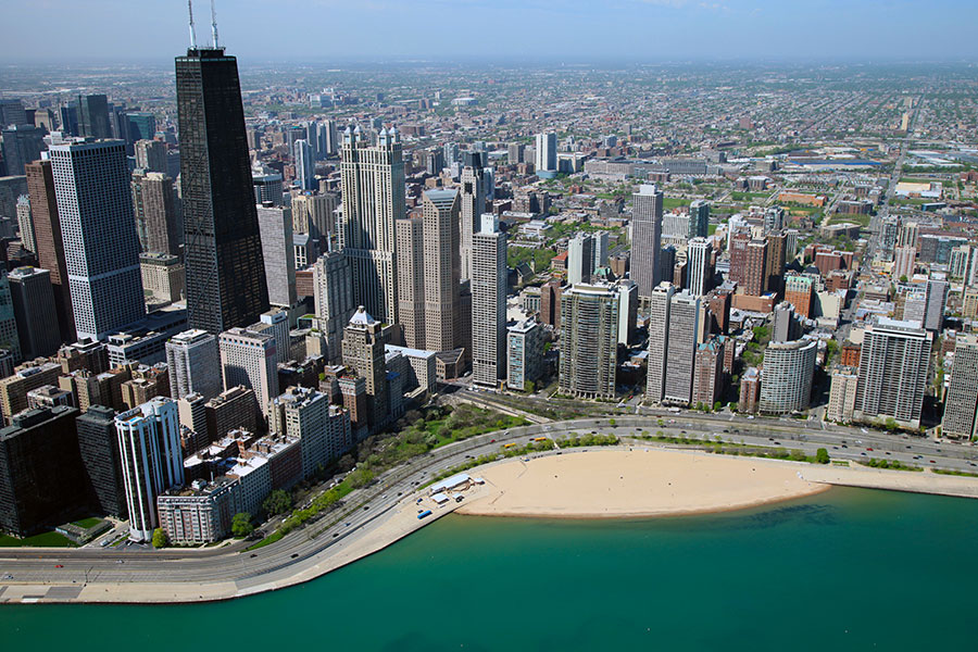
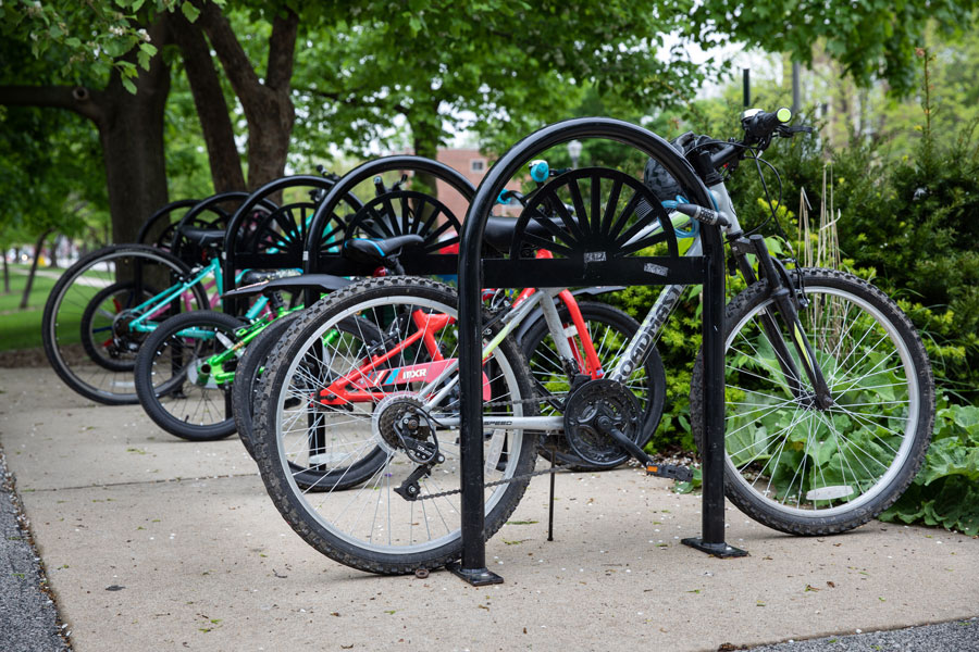
Serving the Needs of Pedestrians and Cyclists of All Abilities
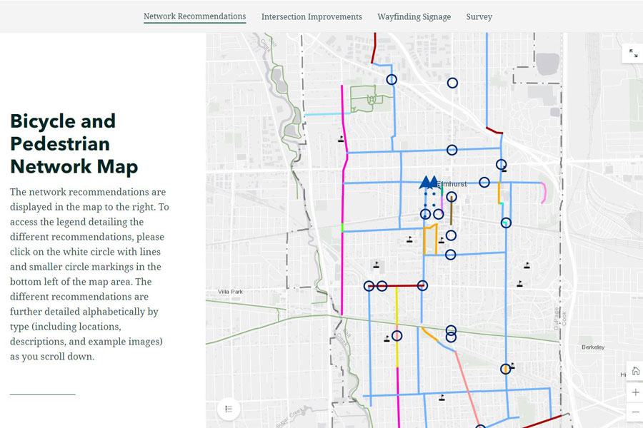
Civiltech worked with the City of Elmhurst to build off of previous planning efforts and develop a City-wide pedestrian and bicycle network. The Bike and Pedestrian Plan provides a comprehensive network of improvements that were vetted by the community in a few robust rounds of public feedback. Due to the pandemic, the project team pivoted the second phase of the community engagement strategy to virtual and deployed innovative and interactive tools to reach residents and illustrate the draft plan recommendations.
Click on image to view large.
Click on image to view large.
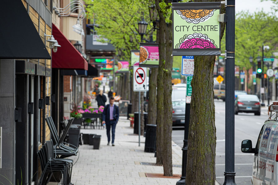
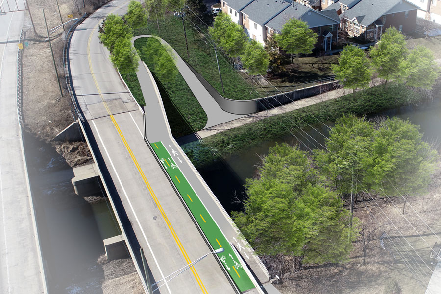
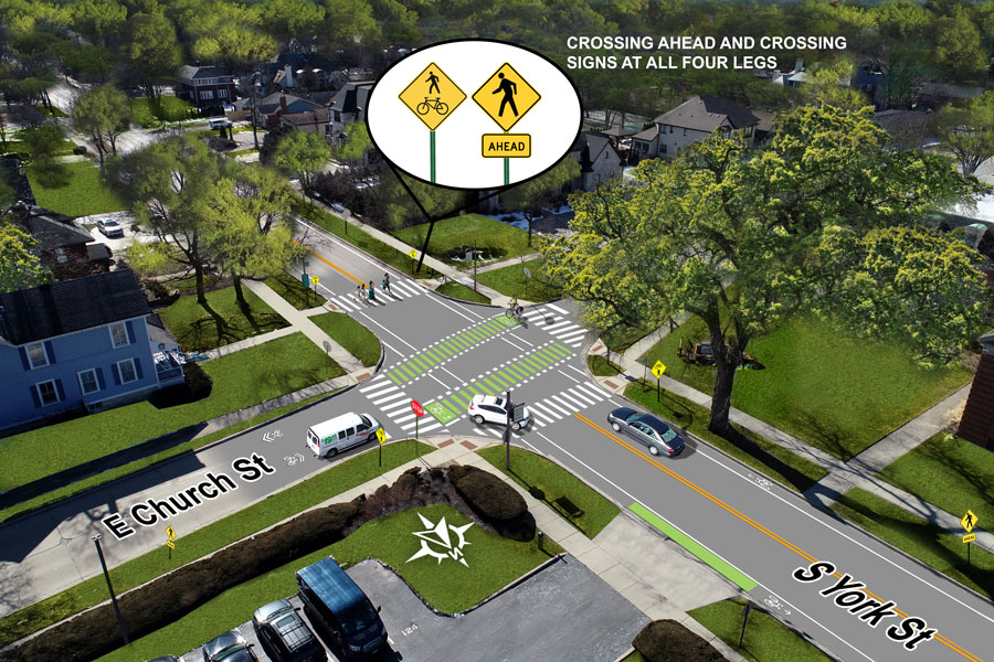
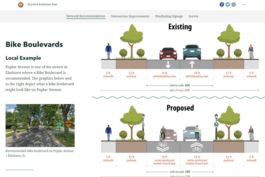
Targeted Improvements and Conceptual Designs
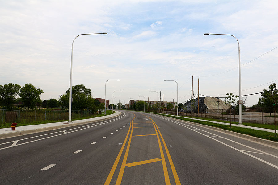
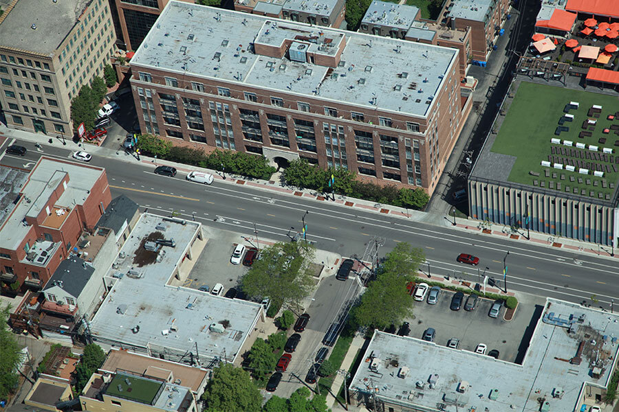
The plan targets improvements that will connect neighborhoods with their local schools, as well neighborhoods within the City’s business districts. Civiltech conferred with City staff after an initial round of community engagement to identify key locations where additional visualizations should be produced. Once these locations were decided, Civiltech created visual conceptual designs for these locations to showcase the context-sensitive treatments and design solutions that could be implemented to increase safety and accessibility for all users. The team considered potential benefits and constraints of designs beyond the curb-to-curb space to the adjacent land uses.
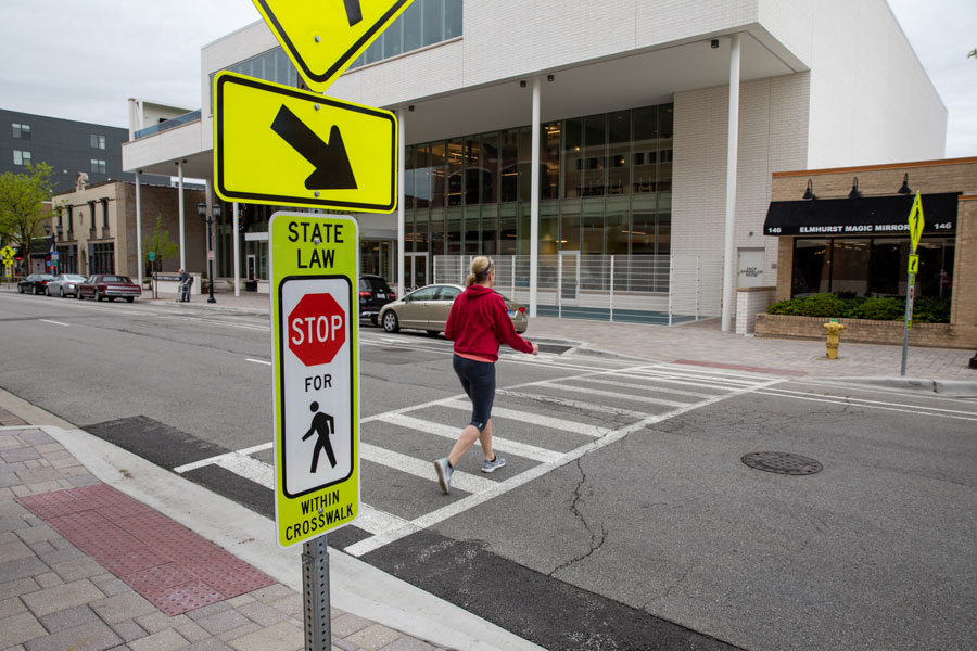
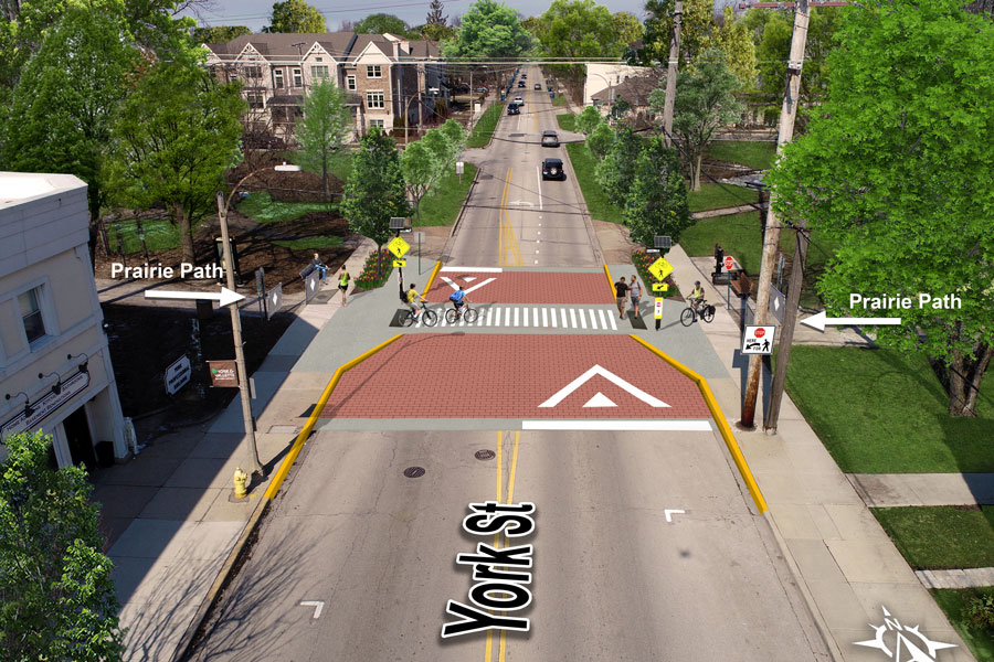
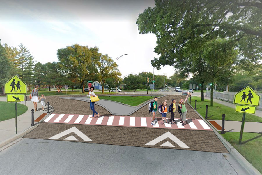
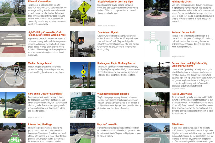
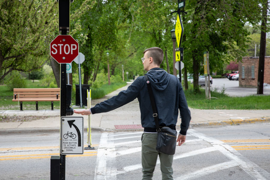
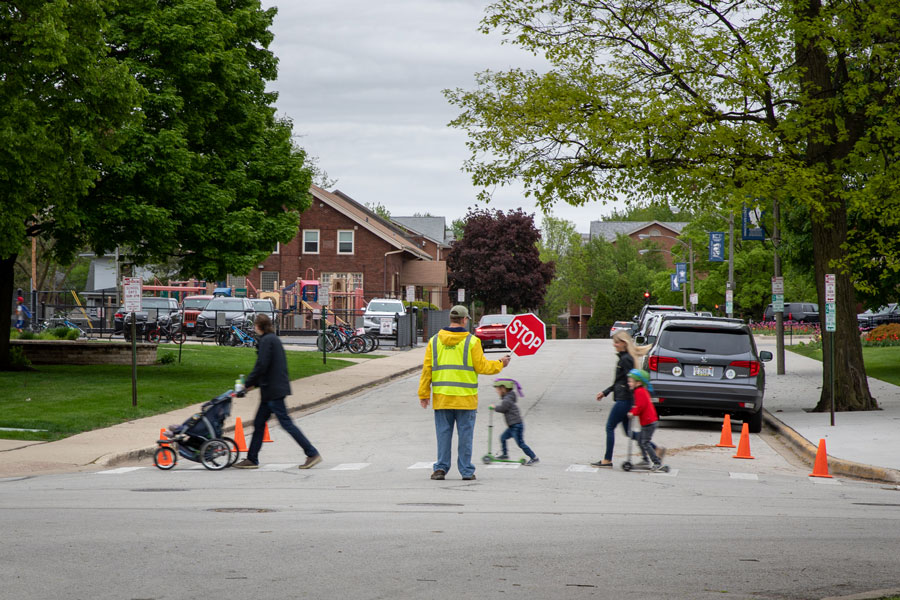
Intersection Toolkit
Civiltech compiled a toolkit of crossing and other intersection design treatments for the City of Elmhurst to consider as their active, multimodal transportation network is constructed. These tools are meant to enhance connections between the various recommended bike and pedestrian facilities and create a Complete Street environment that prioritizes safety, comfort, and access for all users of the roadway.
Click on image to view large.
Click on image to view large.
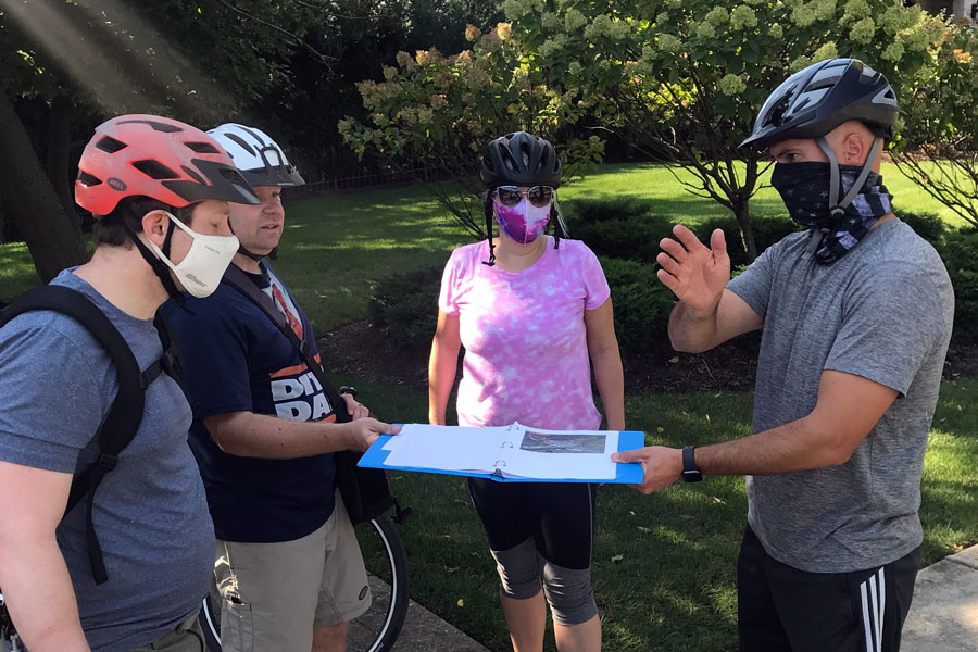
Virtual Engagement
During the Plan’s development, the COVID-19 pandemic occurred and impacted how community engagement was conducted. The community engagement activities were pivoted to an online and remote approach to ensure the safety of all involved with shaping the Bike and Pedestrian Plan. These opportunities still allowed residents to learn about, review, and comment on the proposed recommendations before finalizing the proposed network. One of these highly graphical tools included an ESRI Story Map of the recommendations. This provided residents a self-guided tour of the draft recommendations prior to taking a survey. Additional virtual opportunities included:
- Virtual Open House
- Online Survey
- Walk Bike Snap Elmhurst Sweepstakes
- Project Website
- Steering Committee Meetings
Pursuing Grant Funding
The project team worked closely with City planners and engineers to identify projects that were realistic, implementable and great candidates for grant funding including but not limited to the Bike Path Grant Program (IDNR), Illinois Transportation Enhancement Program (ITEP), Congestion Mitigation & Air Quality Improvement Program (CMAQ), Transportation Alternatives Program (TAP), and Safe Routes to School (SRTS).
Click on image to view large.
Implementing the Plan
As a result of providing the City with an implementable and shovel-ready plan, Civiltech is now providing cost estimates for the plan’s near term project recommendations. The City is currently programming and planning for projects to be included in their budget with design engineering and construction targeted for 2022-2026. This seamless transition from plan to actual project proves that Civiltech’s unique collaboration between Planning and Engineering truly works.
This Project Incorporates the Following:
- Studying a variety of cross sections
- Citywide pedestrian and bike network
- Creating a citywide typology toolkit
- Context sensitive solutions
- Robust graphics and renderings
- Key location designs
- Consideration of community gathering and outdoor seating
- Blending of transportation and land use considerations
- Program and policy recommendations
- Virtual interactive story map
- Prioritization and Implementation recommendations
Scope of Services
- Transportation Planning
- Landscape Architecture
- Geographic Information Systems (GIS)
- Traffic Analysis
- Bikeway and Pedestrian Facility Design
- Community Engagement
- Policy and Programming Recommendations
Similar Projects