Redefining the Drive for all Stakeholders
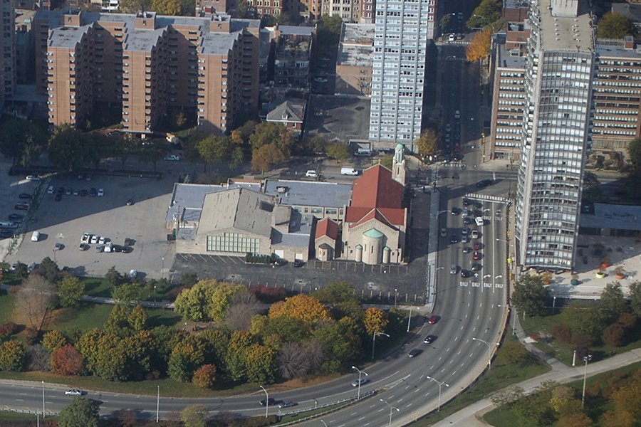
The North Lake Shore Drive Phase I Study involves a significant transit and transportation planning component to analyze and improve the needs of all users. The team has utilized the project as an opportunity to improve transit for the seven express bus routes that run along the inner and outer Drive study area and carry more than 42,000 passengers on average per weekday.

Examining Alternatives
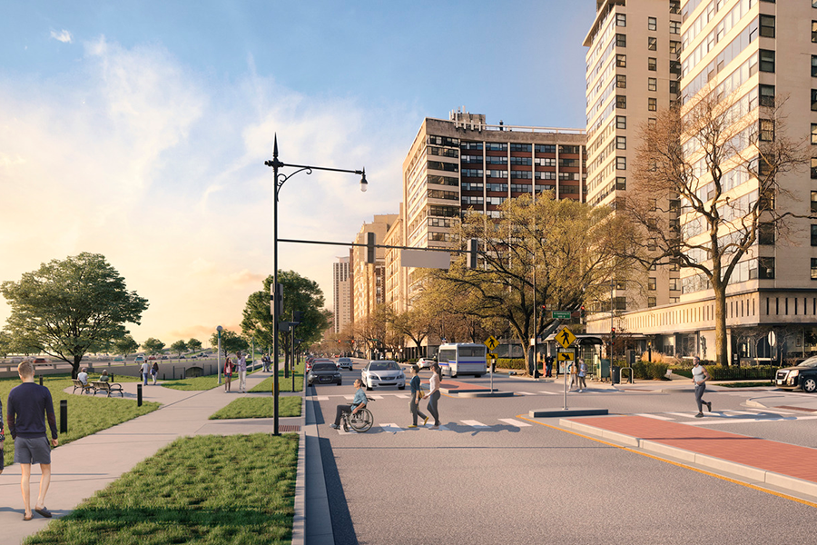
While geometric alternatives are being developed for pedestrians, bicyclists, and vehicles, Civiltech models the traffic impacts that various roadway designs will have on these bus routes and compares them to the No-Change alternative. Alternatives for dedicated bus lanes, transit priority signals, improved bus stops, as well as queue jump and queue bypass lanes for buses are also considered in the design process
Modeling Conditions
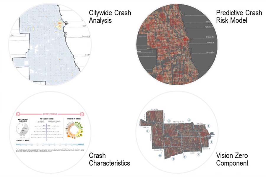
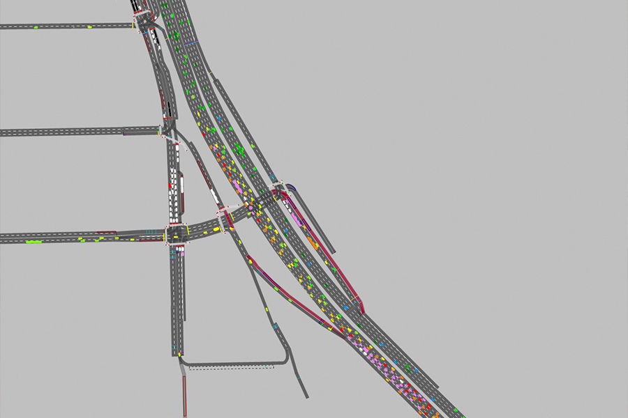
The team analyzes existing and projected datasets to determine where the consolidation of bus stops can happen to further expedite fast and convenient bus service. Other transit operation data that is analyzed includes bus dwell times; travel speeds; ridership; and bus stop location, spacing and scheduling. These datasets are collected from both field observations and the transit agency. To further enhance the existing conditions analysis, the team utilizes VISSIM microsimulation software, which is a robust modeling program that considers all modes of travel and advanced factors that contribute to how a roadway functions for transit.

Considering the Needs of All Stakeholders
The Civiltech approach to improving transit considers the needs of existing and future stakeholders, including park goers, residents, agencies, and transit riders. The process also takes into account adjacent land uses, impacts on other travel modes, and minimizing the transportation footprint of the roadway to reduce impacts on parkland. The project team has conducted extensive community engagement for this highly public-facing project and coordinates with the partnering agencies on messaging strategies that reach and address the needs of stakeholders who utilize the corridor on a regular basis.
This Project Incorporates the Following:
- Multi-modal planning
- Complete Streets approach
- Coordination with transit
- Transit operations data analysis
- VISSIM simulation softwear
- Adjacent land use considerations
Scope of Services
- Transportation Planning
- Transit Planning
- Environmental Impact Statement
- Alternatives Analysis
- Combined Design Report
- Traffic Modeling and Simulation
- Safety Studies
- Intersection Design Studies
- NEPA/404 Merger Process
- Interagency Coordination
- Section 4(f)/Section 106 Statement
- Public Involvement
Similar Projects