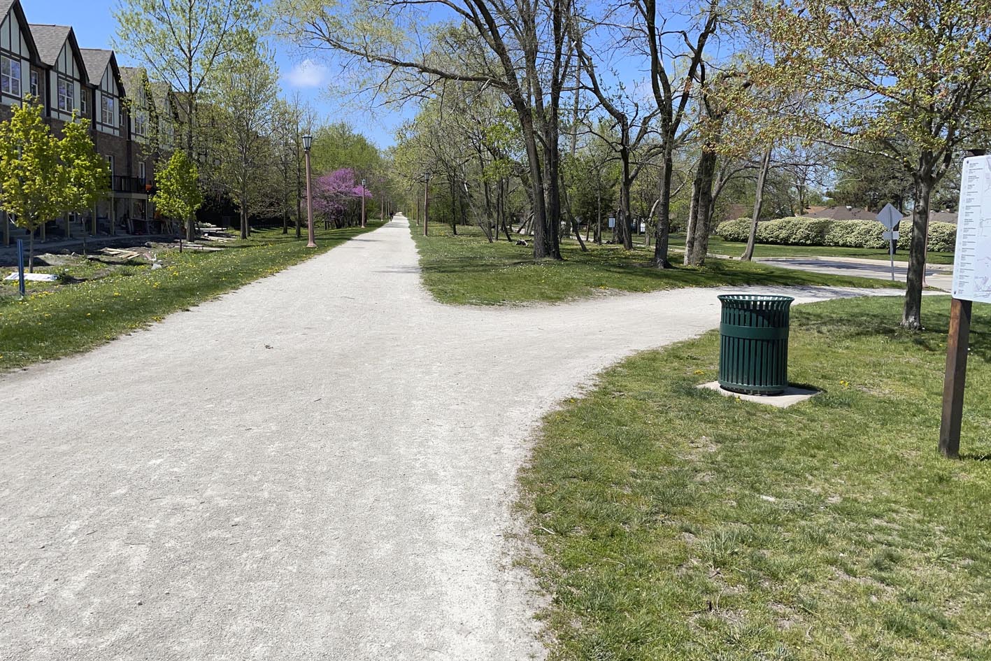
Connecting a Crucial Gap in the Trail
The Des Plaines River Trail Central Feasibility Study is exploring how a 2.5-mile gap in the Des Plaines River Trail can be connected between the Forest Park Blue Line Station (Forest Park), Illinois Prairie Path (Maywood) and the Salt Creek Trail near 26th Street (North Riverside). Civiltech provided bicycle and pedestrian planning services to Active Transportation Alliance and Cook County to connect this crucial gap in the Trail.
Providing Safe Access and Connectivity to Vital Regional Resources
Completing the Des Plaines River Trail is a high priority for our region and has been the focus of several recent studies. If the collective visions are realized, the trail would run continuously from the Wisconsin border through some of Cook County’s most densely populated communities and key destinations. Within the study area, a few destinations include Loyola University Medical Center, Hines VA Medical Center, and Miller Meadow. The study area is also focused on an underserved community, thus prioritizing the need for safe and reliable pedestrian and bicycle access to these key destinations.

Coordination with Transit
In coordination with Active Transportation Alliance, Civiltech employed robust engagement with key stakeholders in the study area. The project team attended community events, such as Tour de Proviso and Party for the Preserves, to hear feedback from the community.
Pace operates multiple bus routes throughout this area, including the future Pace Pulse line on Cermak. Additionally, the terminus of the CTA Blue Line is at the Forest Park Station. Both CTA and Pace participated in the Steering Committee meetings along with separate coordination meetings to ensure a safe and accessible transportation network and connectivity is provided for bus, train, and trail users in this area
.
Establishing Evaluation Criteria
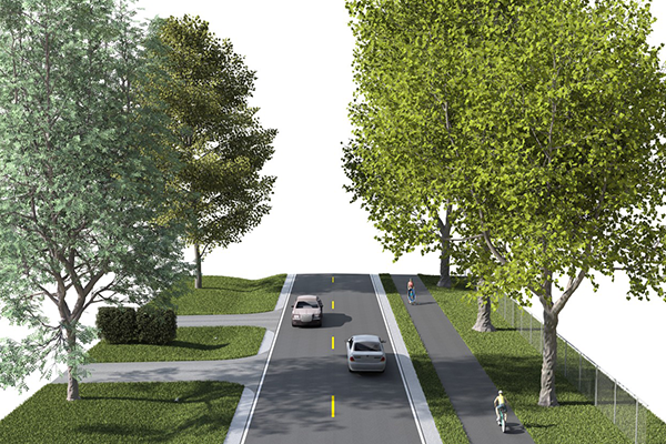
Civiltech also established evaluation criteria for the potential trail alignments which traverse through neighborhood streets, the medical district, and Cook County Forest Preserve. The criteria included user experience, community connectivity, environmental considerations, and engineering feasibility. These criteria, in addition to community feedback, provided a methodology for prioritizing alignments and potential improvements.
This Project Incorporates the Following:
- Bicycle network and trail connectivity
- Bike path alignment
- Transit coordination
- Establishing evaluation criteria
- Focus on underserved communities
Scope of Services
- Trail Planning & Design
- GIS
- Community Engagement
- Complete Streets
Funding
- Local
Similar Projects