Rails to Trails
Civiltech is leading a team to help south Cook County and northwest Indiana communities connect their major regional trails across state lines via an inactive rail alignment. Connectivity from the communities to the proposed trail is also a key element.
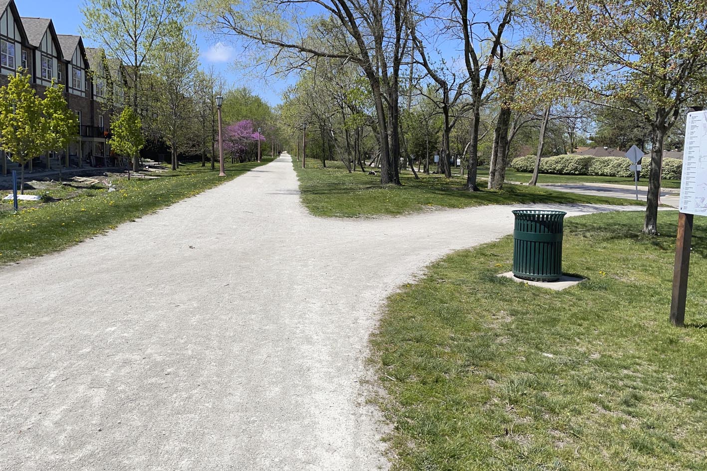
Extending the Old Plank Road Trail
This project involves services to prepare a feasibility and planning study for a potential extension of the Old Plank Road Trail (OPRT). The work includes looking at the feasibility of extending the OPRT from its current terminus in Chicago Heights, east through the Villages of Ford Heights, Sauk Village, and Lynwood and Towns of Dyer and Schererville, to connect to the Pennsy Greenway in Indiana.
.

Identifying Trail Alignments
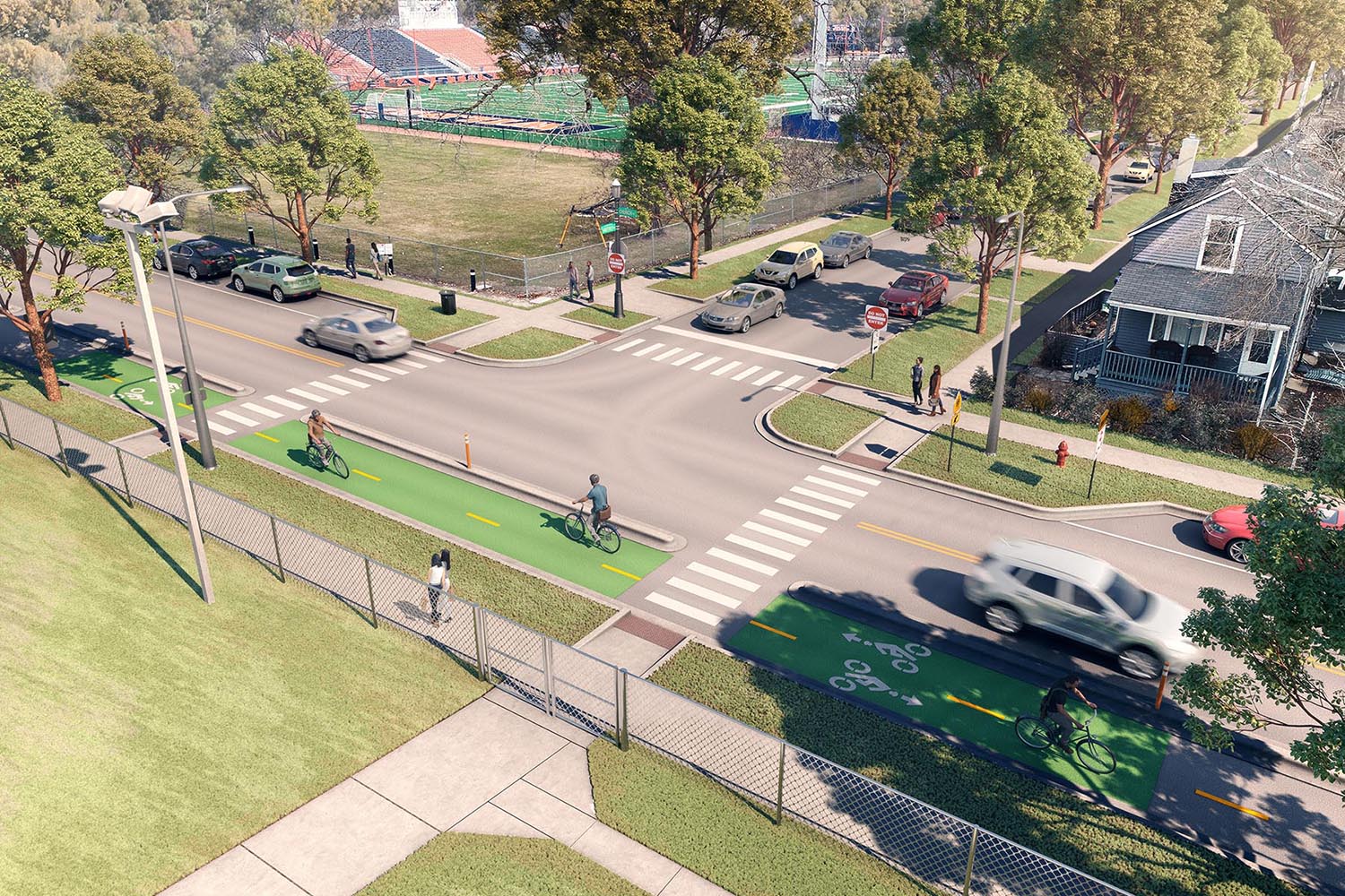
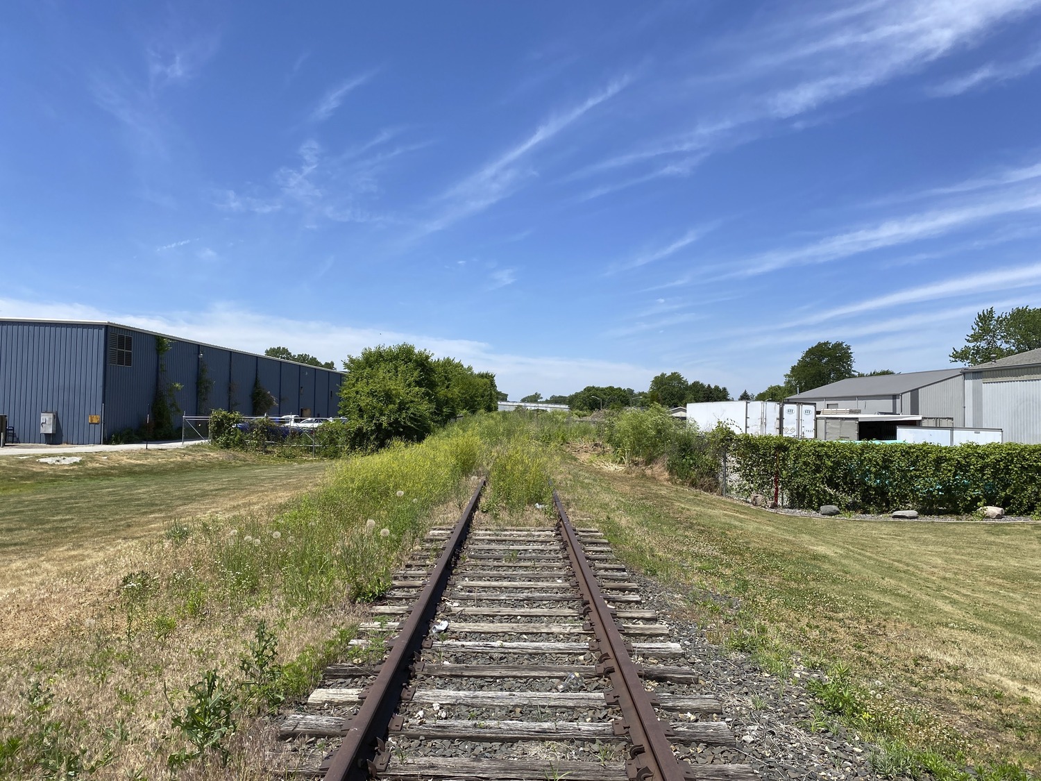
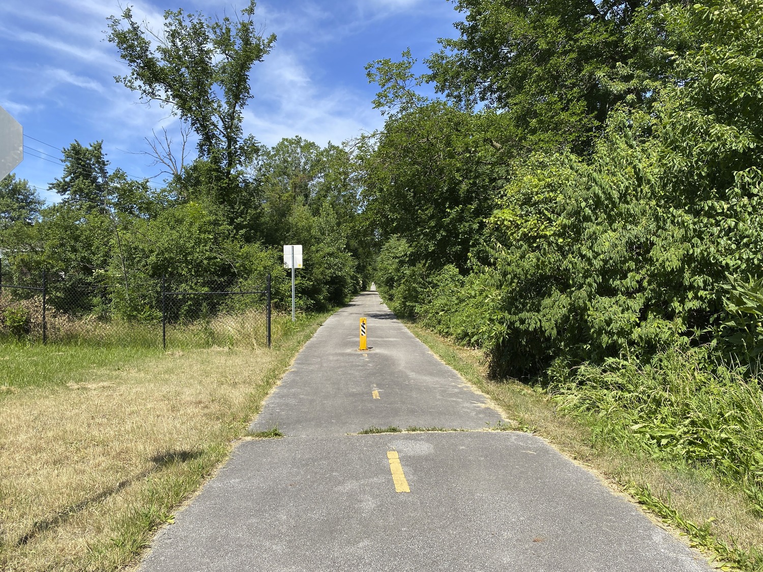
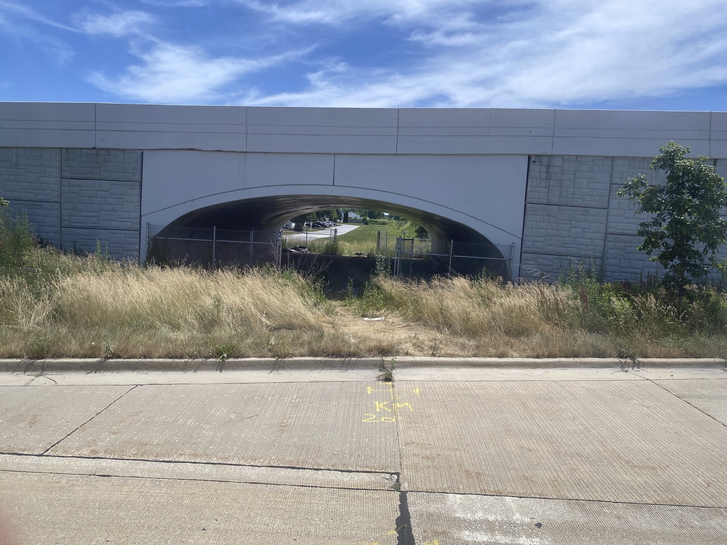
The purpose of the study is to identify preferred trail alignments, including land adjacent to the rail corridor, and develop a scope of work that can be carried forward for further development. The focus is on an inactive rail line and involves coordination with several railroads and a utility company.
Capturing Existing Conditions and Cost Estimates
The project kicked off with a robust existing conditions analysis. Civiltech developed 200’ scale plan sheets of the entire alignment, including alternatives for on-street options. We additionally developed cost estimates for the Illinois communities to pursue a Phase I Engineering Study. We researched and provided recommendations for Trail-Oriented Development and trailheads.
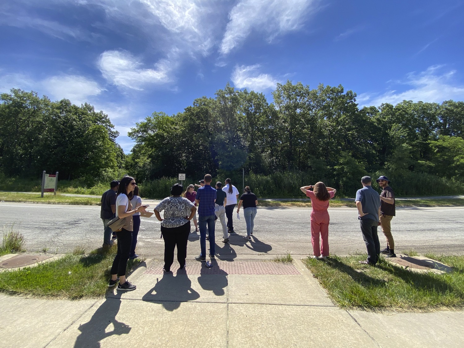
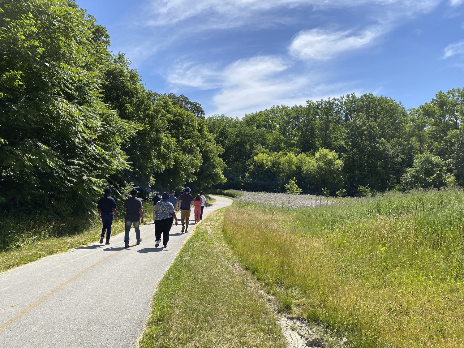
Extensive Community Engagement
Civiltech is also conducting extensive community engagement to gain feedback from key stakeholders and the public, drawing upon their direct experience and relationships in the in the area, which includes pop-ups at community events, a Social PinPoint online interactive map, and a key stakeholder bus tour of the rail-to-trail corridor.
Project Partners
Our partners on this project include:
-
- Chicago Heights
- Ford Heights
- Sauk Village
- Lynwood
- Dyer
- Schererville
- SSMMA
- NIRPC
- Cook County DOTH
- Chicago Metropolitan Agency for Planning
- Forest Preserves of Cook and Will County
- Openlands
This Project Incorporates the Following:
- Utilizing inactive railroad facility
- Community connectivity
- Connecting regional bike trails
- Cross state line trail connection
- Identifying trail alignments
- Trail-oriented development
Scope of Services
- Trail Planning & Design
- GIS
- Community Engagement
- Railroad & Utility Coordination
- Complete Streets
Funding
- Invest in Cook
- Indiana sources
Similar Projects